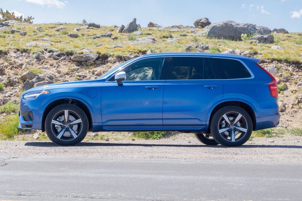
@Zaxxon, those are fantastic pictures! Your T8 is a beauty.
I'll narrate the drive up and share pictures of the energy consumption.
We left our house in Denver with 236 miles of full charge on our 70D. We knew that going up the mountain would eat up a bit of energy but did not alter our driving habits to test the energy usage with our normal driving style. The trip to Idaho Springs used 53 rated miles for an actual travel distance of 39.7 miles. That's pretty impressive considering my lead foot and the climb.
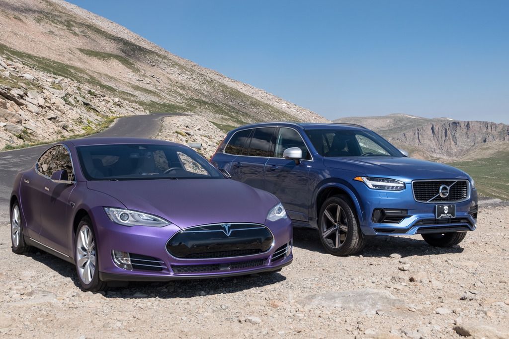
We ended up meeting at the Beau Jo's charging station because we had both gotten there a little early and happened to meet there instead of the school. Both are close to each other and the town only has one main street so neither are hard to find. The parking lot behind Beau Jo's is also a good public, place to meet although when we go there at 8:40, it was filling up quickly with cars and cyclists. By the time we got back down for lunch, the parking lot was full so be aware of that since there are only two charging spots.
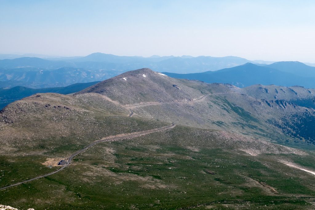
To get to Mount Evans Road, you head from the parking lot to where the highway entrance ramps are, however, without entering either ramp - you just go straight. If you program Mount Evans into the GPS, it will tell you how to get there and more interestingly, you'll see all the hairpin turns you're about to go on. The road is initially a residential road with houses on either side and the speed limit is 30 MPH and eventually gives way to a more scenic, mountainous road with speed limit of 45MPH. We were the only cars on the road for a little while so I decided to turn on AP. Since it's a 'restricted' road, I was given the notice that the car would only go +5 over the speed limit. The card did amazingly well around the sharp turns and knew when to slow down to make a tight turn. I was always alert to take over if needed but didn't need to until we were passing cyclists. Be aware that this is a very popular road for cyclists and you will be avoiding more of them than most roads. You'll travel about 2 miles before you hit the actual entrance to the road where you have to pay. When we got there, there was already a good line of people who were going up at this was around 9:10AM.
When we plugged in Mount Evans in the GPS, the car estimated the 26 mile round trip would take 1 hour 30 minutes and would take us to 43% battery while coming back down would gains us 3%. We did even better than estimated! At the end of the trip back down to Idaho Springs, we actually were sitting at 55% battery. At several points during the decent, the car reported 999 miles of projected range -- that's obviously not realistic unless you're driving downhill only.
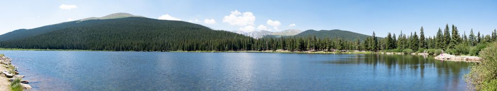
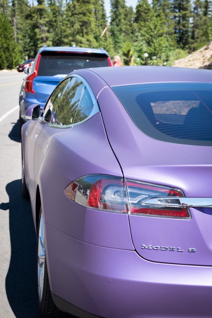
Coming down was when we stopped to take scenic photos as seen in
@Zaxxon's post above. Just be careful with the Model S that there are some patches of the road where the side of the road has worn away and the asphalt can be jagged. So be careful when you go off onto the shoulder as you might have to because some stretches of the road will be too narrow for cars going in opposite directions and a bicyclist to all make it by together. Stopping to enjoy the scenery is definitely worthwhile!
Unfortunately, the way the pictures are uploaded to this forum don't allow captioning or narration so the order I'm uploading the pictures following this post is:-
1) Console as we left the house
2) Projected battery usage at the start of the drive up for the round trip
3) Energy consumption to the top of the mountain
4) What we actually did versus projected.
5) Mountain goat that we saw as we were descending. We felt very fortunate to see one but the poor guy was scared and there were cars and people all around so he ended up going the only way he could - down the side of the mountain!
I'm not sure what to make of the difference between projected and actual. it was quite windy above the tree line and colder by almost 20deg Farenheit so you wouldn't think those factors would help the actual numbers be better. One thing I did notice is when we turned on AP going down, most of the time, we were regenerating. This is probably because the car is able to modulate the speed better than humans. AP on the way down was way too conservative for us so we drove it for less than a mile and then took over and that ended up being more fun.
A few more thoughts to share:
- - You will have absolutely no problems making a round trip w/o charging in a Tesla. We had the thought of charging while we were eating at Beau Jo's but there was an i3 already in one of the spots. We chatted with the couple who were borrowing it from a BMW dealer for a weekend. It's much bigger than I thought - it's about the size of a Mini and while it is a two door, it's really a 3-door because the there are two half doors that open to let you in the back. Something akin to what the Saturns had back in the 90s. Anyway, we didn't charge and got home with 103 miles left. So the whole trip used about 56% of the battery.
- - The parking lots at just about every scenic stop was completely full with people parking in undesignated spots and we left around 9AM to make the trek up. I would highly suggest if you're going on a weekend that you go even sooner just to find parking. I think this is a pretty typical weekend for visitors so if there are special events going on, I'm sure traffic will be even worse.
- - It is really much colder up at the top than I thought it would be! I brought a light jacket and jeans and was still shivering due to the wind chill. I would recommend bundling up as if you're going somewhere in winter. I certainly wished I had my puffy Tesla jacket with me!
- - We didn't do it this time but you can climb up to an even higher peak when you get to the top. It looked to be a rocky trail but many people went up so it's probably not too difficult to navigate.
- - The roads were pretty decent. There were a couple of spots near Echo Lake that the roads were in poorer condition but there was a construction sign to warn you of that. And if you're following someone, you'll see their car dip before you go over so you'll know where the ruts are.