robertvg
Extremely Well-Known Member
I thought that was disabled some updates ago. Works for me only when I'm in park.Well you can be tethering over wifi while driving.


You can install our site as a web app on your iOS device by utilizing the Add to Home Screen feature in Safari. Please see this thread for more details on this.
Note: This feature may not be available in some browsers.
I thought that was disabled some updates ago. Works for me only when I'm in park.Well you can be tethering over wifi while driving.
When you switch to drive, yes, it default to 3G/LTE but you can select the wifi again.I thought that was disabled some updates ago. Works for me only when I'm in park.
Exactly the same here in The Netherlands, at least 3 owners have reported this change since yesterday.There are reports that auto lane change is now enabled on other roads than highways also, here in Finland. Must mean that the maps are updated.
ExactlyI don't think the update is in the tiles. AP1 can do that a long time. Plus it would mean they have to have two sets of tiles. I guess they have some way of sending certain configuration parameters to selected cars, which makes them allow lane-changes on more roads.
Doesn’t look like the video linked properly.Do we know for certain that both ap1 and AP2-cars use the tiles?
Btw my car in Norway can now also auto lane change where it did not before.
Video in link below.
Sorry, meant video link in my signature. But here it is anyway.Doesn’t look like the video linked properly.
I was informed here that the old approach to the tiled datas was replaced with a new one, so all that you see in the old link is just an old snapshot.
New versions access the data in a different way, yet it is not entirely clear what.
But my friends got out of the car and gave me this file with the data from Norway as an example:
Seems like 'tile' format at a highlevel is the same as all same options worked.I was informed here that the old approach to the tiled datas was replaced with a new one, so all that you see in the old link is just an old snapshot.
New versions access the data in a different way, yet it is not entirely clear what.
But my friends got out of the car and gave me this file with the data from Norway as an example:


")
My local map tiles went from 500KB each to around 1000KB each, in the "stage" subdirectory.
Maybe Damian has an idea about the increase in file size.
Seems like 'tile' format at a highlevel is the same as all same options worked.
@DamianXVI the boundaries in the file seems to have changed, can you have a look ?
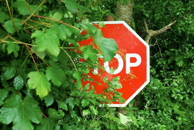
I see stop signs blocked (partially or full) at different times of the year depending on leaves and foliage. Also occasionly due to snow or sun glare.The camera sensors / NNs could be completely or partially blind for a road sign (or something else stationary), e.g. due to fog or rain or light conditions.