

What Israel’s strategic corridor in Gaza reveals about its postwar plans
Israeli troops are fortifying a strategic corridor that carves Gaza in two, building bases, taking over civilian structures and razing homes, according to satellite imagery and other visual evidence — an effort that military analysts and Israeli experts say is part of a large-scale project to reshape the Strip and entrench the Israeli military presence there.
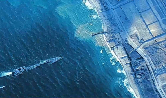
The Netzarim Corridor is a four-mile-long road just south of Gaza City that runs from east to west, stretching from the Israeli border to the Mediterranean Sea. Hamas has made Israel’s withdrawal from the area a central demand in cease-fire negotiations.